


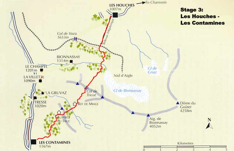
6/29 Stage 3: Les Houches – Col de Tricot – Refuge de Miage – Les Contamines
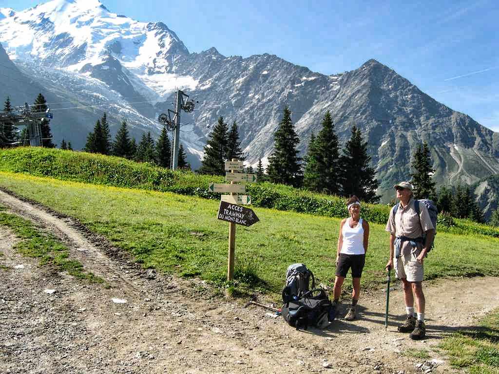
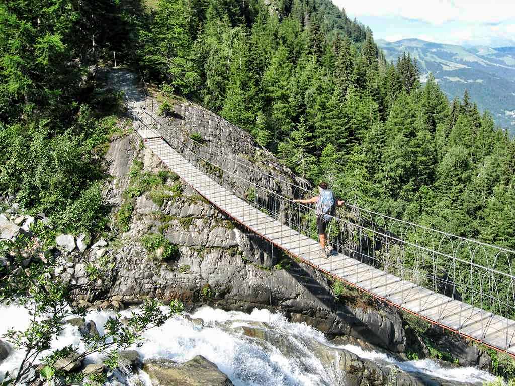
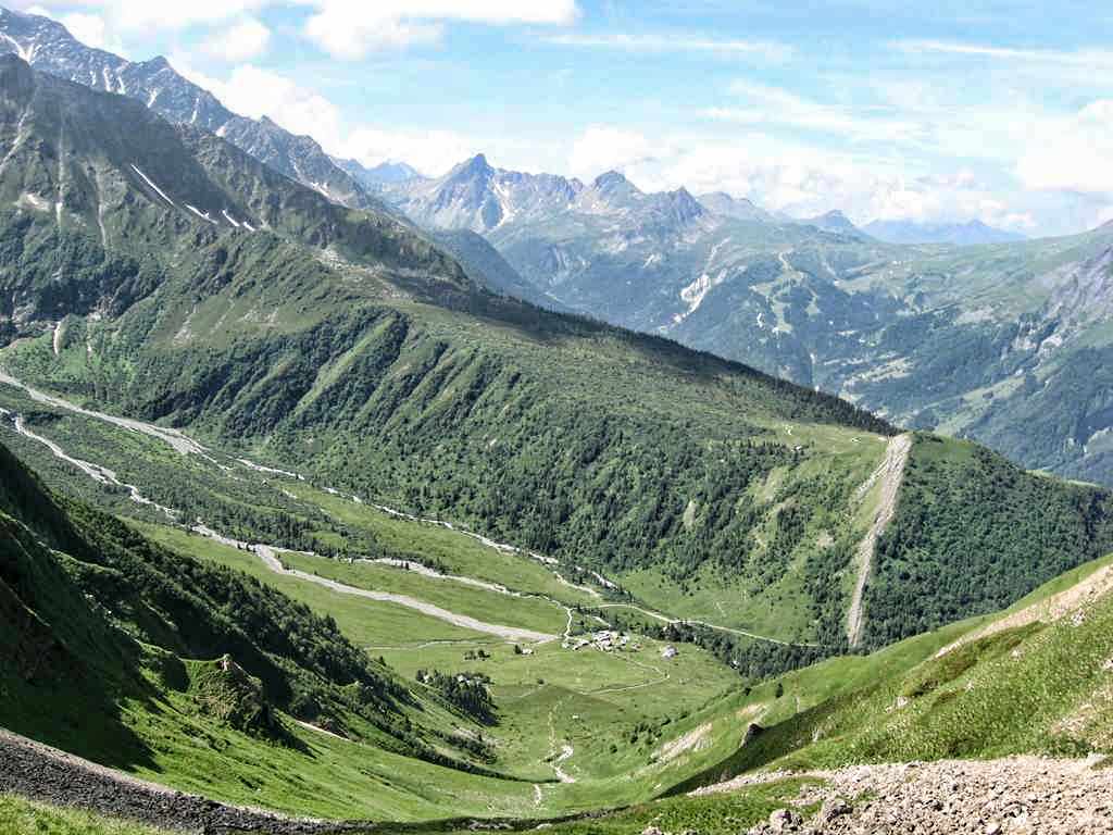
6/29 After a croissant breakfast we put our street clothes and unneeded equipment in storage at the Hotel des Alps and took a bus south to the village of Les Houches. From the town center we took the tram to Bellvue ((1786m – 5860ft) (9:35a). We crossed the railway tracks behind the upper tram station and followed the trail across the meadow where a path continued down a partly wooded hillside that sweeps down into the Bionnassay valley. Making an undulating traverse of the slope, we passed through a gate and joined a second path coming up from Bionnassay. Marching on we passed through another gate and along an easy contour to a T – junction of paths (25 minutes from Bellvue), where we turned right across an open meadow with great views up to the Glacier de Bionnassay. The way then went onto wooded area and along the lateral moraine of the glacier, and descended among trees to two or three small streams that were crossed on large stones before coming to a suspension bridge across the main drainage for the glacier (1590m – 5217ft).
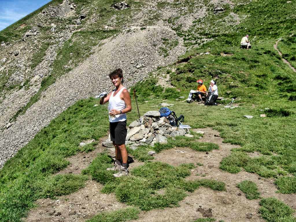
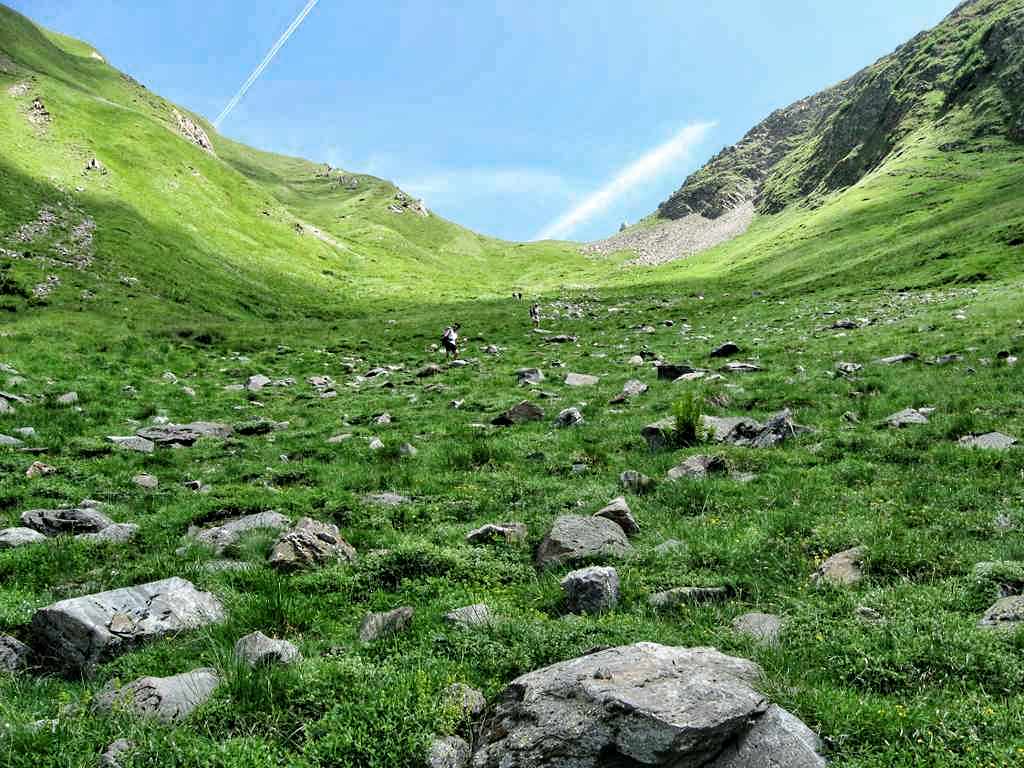
Once across the bridge the path switch backed uphill through dense brush until coming to another trail junction. The right-hand option went down to Bionnassay and Le Champel but we continued on ahead through the trees toward the Col de Tricot. Once out of the trees the way continued up the grass slopes of the Combe de Tricot dotted with alpenroses, and with views of the Aiguilles du Gouter and Bionassay. After about a mile we came to the Col de Tricot (2120m – 6955ft) (11:00a). The col is a broad grassy saddle on a long ridge spur stretching down from the Aiguille de Bionassay, forming a partition between the valleys of Bionassay to the north and Miage to the south. On the saddle there was a low stone wall for seating and a lot of flies! From the col we could look down to the Chalets de Miage in the valley below. On the south side of the col the trail zigzagged steeply down and some care needed to be exercised or tired ankles may have suffered sprains.
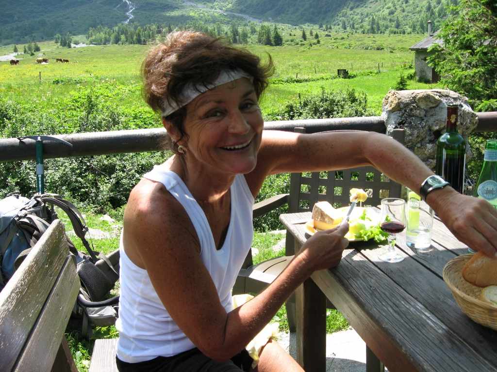
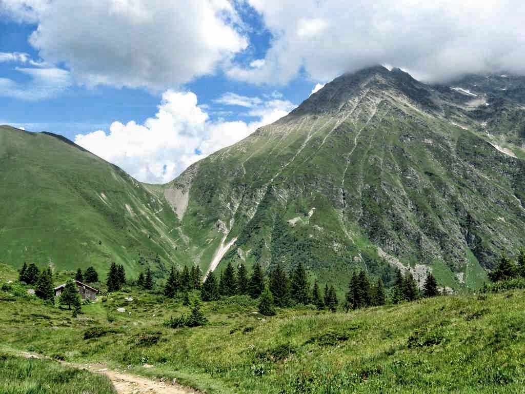
After a descent of about 600m (1969ft) we arrived at the Refuge de Miage (1559m – 5115ft). Here we enjoyed a much deserved lunch of wine and cheese before continuing. From the Refuge the trail crossed the valley before beginning an ascent of about 160m (525ft) to reach the ridge crest of Mont Truc and the Auberge du Truc (1720m – 5643ft). Once past the Auberge it was a pleasant four mile walk along a gradually descending road to Les Contamines (1167m – 3829ft).
-

- At the top of the tram to Bellvue
-
- The suspension bridge over the stream from the Glacier de Bionassay
-
- Col de Tricot
-
- Looking down toward the Refuge de Miage
-
- On the way down to Ref. de Miage looking up to Col de Tricot
-
- Lunch at the Refuge de Miage
-
- On the trail to Les Contamines looking back toward Col de Tricot
Pages: « Previous 1 2 3 4 5 6 7 8 9 10 11 12 13 14 15 16 Next »