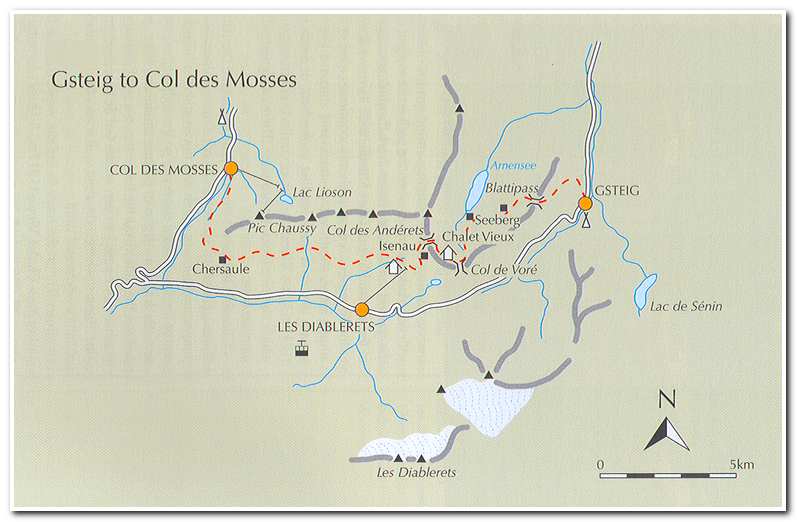
July 2 2006 Gsteig to Col des Mosses
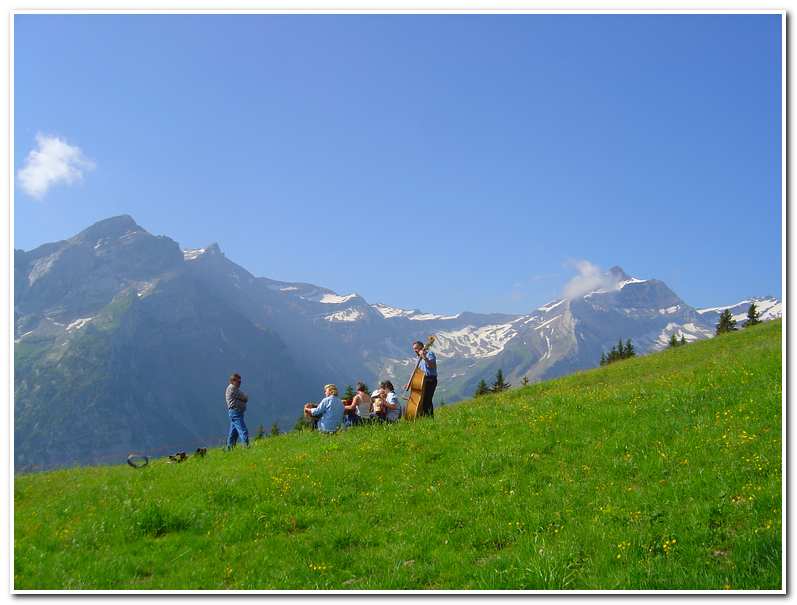
The trail for this stage started just past the Hotel Viktoria (ca. 3900 feet) and took a steep road, up behind the hotel toward Vorder Wallig, Arnensee, Seeberg and Col du Pillon. After passing several farm houses I took a right turn onto a narrow track which rose around the steep wooded hillside. Just before the track came to a farm building I took a path on the left and climbed up a steep poorly marked meadow. After the meadow came another wooded section and then another steep meadow before coming to a signpost at the farm of Schopi (ca. 4925 feet). The trail then veered left and took a vague grass path with a few marker posts which climbed through more pastures still gaining height steeply. About thirty minutes above Schopi I came to the farm buildings of Vorder Wallig (9:30; ca. 5630 feet). Here I came across a family alpine band practicing in a pasture just above the farm house!
After the impromptu ‘alpin konzert’ I continued up a small road another thirty minutes before coming to road end at Topfelsberg (10:05; ca. 5950 feet). After this a trail led up to Blattipass (10:20; ca. 6232 feet).
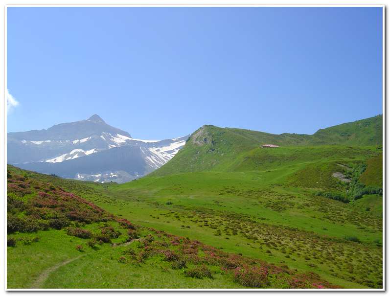
After Blattipass the trail descended down the western side of the ridge over grassy slopes and through woodland and after a few minutes came to the alp building of Ober Stuedli with great views down to the Arnensee. An obvious path now continued, descending slightly over pastures and across a stream to join a track leading to the farm of Seeberg (11:10; ca. 5615 feet). Here there was a signpost marking the path to the Col de Vore. Leaving the farm I passed through a beautiful alpine meadow lined with alpenrose, juniper and bilberry. Higher up I entered a shallow basin of pasture and wildflowers and then climbed the last few feet to the Col de Vore (12:00; ca. 6265 feet). Beyond the Col de Vore a small track led up about a half mile to the Col des Anderets (12:30; ca. 6671 feet) whose ridge is the Rhone/Rhine watershed.
Once over the col the Dent du Midi became the focal point of the view and the Bernese Oberland were left behind. I continued on down the paved road into a basin with ski lifts and stopped briefly at Isenau (1:20; ca. 6085 feet) for lunch. From Isenau I took the path which cut off to the right, signed to Chersaule and Col des Mosses. After following the way marks down to a lone farmhouse (ca. 5530 feet) on a shelf in the valley next to a stream I turned and crossed the stream and followed an eroded, sometimes soggy path that made an ascending traverse along the north side of the valley to a little cluster of houses high on the hillside; Meitreile (ca. 5913 feet). From Meitreile the route continued its contour around the valley wall to the Marnex farm (ca. 5700 feet). Here a narrow road led to a small group of buildings at La Dix (ca. 5710 feet).
The road ended a La Dix and a path continued until coming to another farm road which I followed for about a mile as far as Chersaule (ca. 5428 feet). The road then turned sharply left and began its descent. At this point I left the road and headed to the right between the buildings and took a track through woodland, then out to a clearing on a spur of hillside near the farm of Oudiou (ca. 5582 feet). From here I could see Col des Mosses (4:45; ca. 4740 feet) which I reached, a hot and tired, forty-five minutes later.
-

- Orchestra von Vorder Wallig
-
- Path approaching Col de Vore
-
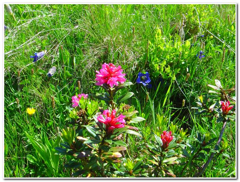
- Wildflowers near the Col de Vore
-
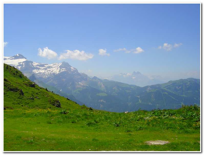
- View toward Mont Blanc from Col des Anderets
-
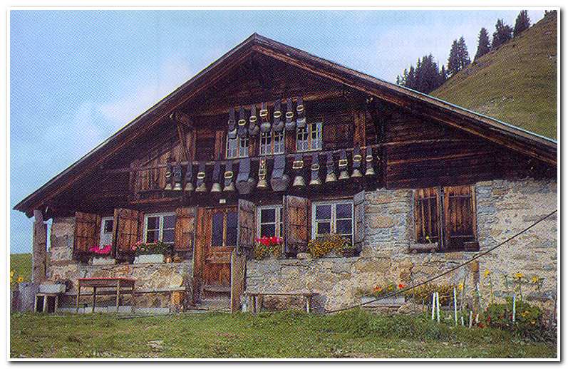
- Farm at Chersaule