On August 9th 2002 I returned to Jackson, rested and ready to hike the remaining 52 miles to Clark Canyon Reservoir where I had started my route down the Beaverhead River the previous May. I pulled into the parking lot of the Jackson Hot Springs Lodge, got a room for three nights and then went to the bar for a beer. While there I met the boyfriend of the owner’s daughter and talked him into shuttling me back and forth between Jackson and my hiking route so I could hike each day and return to a comfortable room each night. After these arrangements were made I went to the dinning room and enjoyed a big steak dinner. After dinner I reviewed once the route ahead and settled for a good night’s sleep.
On the 10th I was up by 6:30 a packed my day pack before going to breakfast. After my last experience with hiking in the Big Hole I packed plenty of water and enough junk food to tide me over til late afternoon when I expected my driver to pick me up. I walked out the front door of the lodge at 8:45 and headed south out of town.
About a mile out of town the road turned southeast and roughly followed Governor Creek for another two miles before it joined with Bull Creek. I passed several cattle ranches and huge hay fields with “beavertails” awaiting the next harvest. These strange teeter totter like wooden machines are used to stack loose hay during the harvest and while numerous in the Big Hole I didn’t see many as I traveled east across the rest of Montana and the northern plains states. At 10:10 and about 4.2 miles out of town the road veered sharply and headed north northeast as it gradually climbed to the summit of Big Hole Pass at about 7500 feet. (11:35: 10.6 miles)
On the east side of the pass the road lost altitude quickly and descended into the Grasshopper Creek Valley. Along the way I came across some cowboys driving a herd along the road. Even though I was following a modern road it was still interesting to see first hand the nineteenth century way of moving cattle still in use and the whole notion of “cowboys” still very much alive.
Sometimes as I walked or kayaked along during my transcontinental trek, I would often silently recite Robert Service poems and sometimes I would even silently sing some catchy song that kept repeating in my mind. One such song was Woody Guthrie’s “I Ride an Old Paint”. One of the verses in that song goes “…..for I’m goin’ to Montana for to throw the houlihan”. I had often wondered just what a houlihan was and this seemed like the perfect time to find out. I asked one of the young cowboys and he answered “damned if I know”, so a few minutes latter when I passed what appeared to be the oldest cowboy on earth I asked him. He said “well young feller; there’s a couple a ways to throw a rope. One is over handed and that’s how you throw a rope when the cow or horse moves from your right to left, and the other is underhanded and that is how you rope when the animal is movin’ from left to right. The underhanded way is called throwin’ a houlihan. I thanked him and was able to continue on safe in the knowledge that I was one of the few people in the world who could now tell you what throwin’ the houlihan means.
After descending into the Grasshopper Valley I passed the Harrison Ranch (mile 18) and then followed the valley for another 3.5 miles (2:45; 21 miles total for the day) to within a mile of the Bannack turnoff. Tomorrow I would return to this spot and continue on, leaving the Grasshopper Valley at the turn off to Bannack and then continuing on for another 12 miles to the town of Grant in the Horse Prairie Valley. Once back in Jackson I washed the days grime away and hit the bar for happy hour before ordering up a rack of lamb and a bottle of Cabernet.
By 8:45 on the 11th I was back on the road, at my previous stopping point, ready to start for Grant. After about a mile I reached the Bannack turnoff and headed off through a much more arid landscape filled with scrub brush and rocky barren soil. It was quite a change after the lush green hay growing Big Hole and Grasshopper Valleys. Soon the road was winding its way through low hills and dry gullies on its way to the remote location of the ghost town of Bannack.
Founded in 1862 and named after the Bannock Indians, it was the site of Montana’s first major gold discovery in 1862, and served as the capital of the Montana Territory briefly in 1864. Bannack (spelled differently from the Indian tribe) continued as a mining town, though with a diminishing population until the last resident left in the 1970’s. At its peak, Bannack had a population of about three thousand. There were three hotels, three bakeries, three blacksmith shops, two stables, two meat markets, a grocery store, a restaurant, a brewery, a billiard hall, and four saloons.
Bannack’s sheriff, Henry Plummer, a ruthless gang leader behind the badge was responsible for nearly a hundred deaths caused by his gang during robberies in the Virginia City and Bannack gold fields and trails to Salt Lake City. Eventually Plummer and twenty-two members of his gang were tried and hanged by the vigilantes of Bannack and Virginia City.
Once past Bannack the road turned into a primitive dirt road that passed through the hills and wound its way southwest across scrub land. The scenery wasn’t very interesting and I soon found myself engrossed in reciting some Robert Service when I heard and rustling noise behind me. I turned and saw a very angry badger coming down the road after me. He looked like he meant business and was not at all happy that I was walking through his territory. My first response was to wave my arms and shout at him, hopefully scaring him off to a safe distance. Bad idea. It turns out badgers don’t appreciate being yelled at and so he started snarling and coming even fast toward me.
Since reasoning didn’t work with him I threw rocks. This only made him madder. It was beginning to dawn on me that perhaps I shouldn’t pick a fight with a badger, and the best thing to do would be to retreat with all possible haste down the road and out of his territory. This last plan worked I am happy to say. Mr. Badger scrambled after me for about twenty yards and then apparently satisfied that I was leaving stopped and snarled and hissed until I was a hundred yards down the road.
By around noon I had come to Sheep Corral Gulch, named for its decades old sheep coral off to the side of the road. Here the road turned due south and began to descend slowly down into Horse Prairie Valley. By 1:30 I was out of the hills and walking through more cattle and daily farms. At 2:00 I passed the Cross Ranch and by 2:30 I had reached the small town of Grant. Here I intersected a main paved road and turned due east toward Clark Canyon Reservoir. By 3:00 I was within 9 miles of the Reservoir when my driver showed up to take me back to Jackson for the night. The day had been a tough one, 19 miles of hot, dry, badger ridden dusty road, but on the other hand what a great experience and improbable story to tell!
August 12th was another beautifully clear warm day. I got a very early start today, leaving the Jackson Lodge at a little after 5:00 am. My driver and I drove on the main highway to Clark Canyon Dam and then backtracked to around mile marker 9, where I had stopped hiking the day before. I was on the road hiking by a little after 6:00 am. The hike down the Horse Prairie Valley was through mixed hay and cattle ranches. This was the valley Lewis and Clark passed along when they met the first of the Nex Pearce Indians (Sacagawea’ brother) before ascending to Lemhi Pass and beginning their long trek from the Continental Divide to the Pacific Ocean. The hike was uneventful and I reached Clark Canyon Reservoir by 7:30 and then hiked around to my put in point at the base of the Clark Canyon Dam by (9:00). I had crossed the Big Hole.
-

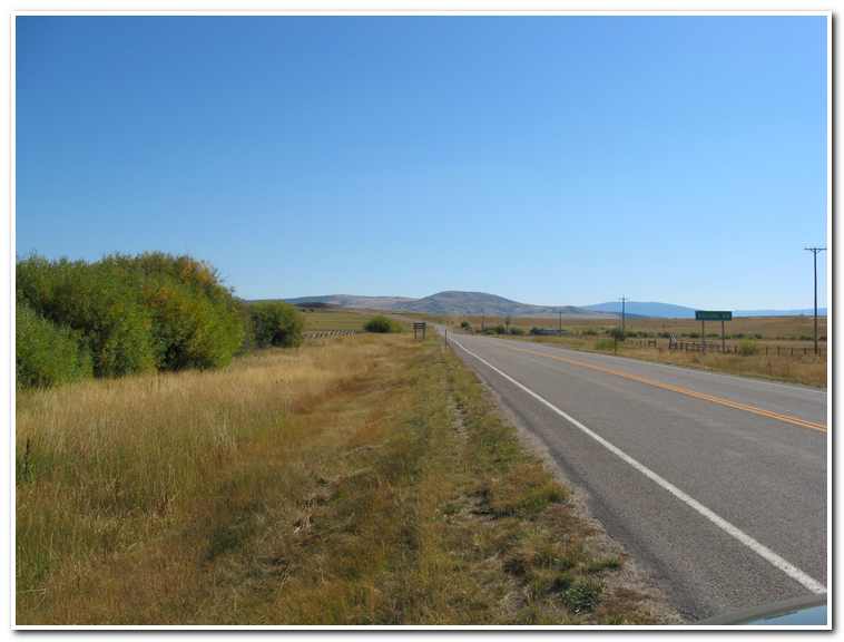
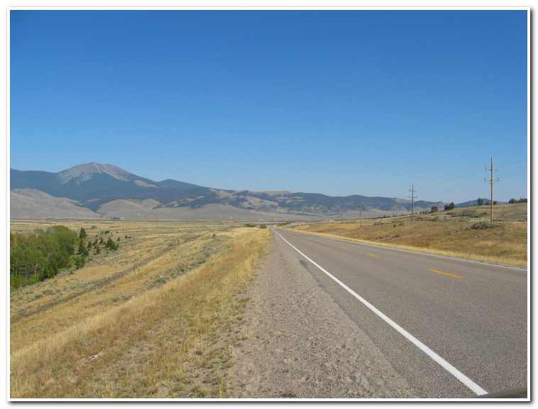
- Heading South out of Jackson, Montana
-
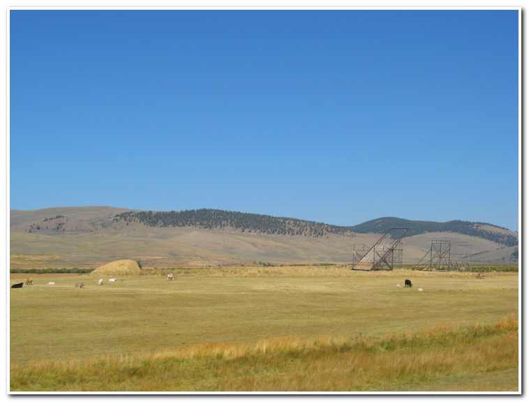
- Beaverslides in the hay fields south of Jackson, Montana
-
- Bull Creek, as the base of the Big Hole Pass

-
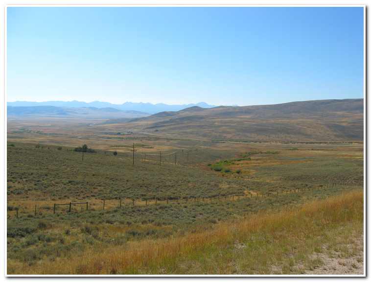
- The Grasshopper Valley below Big Hole Pass
-
- The Grasshopper Valley
-
- Passing the Harrison Ranch in the Grasshopper Valley
-
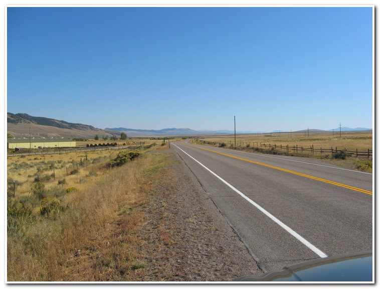
- Stopping point on August 11th 2002
-
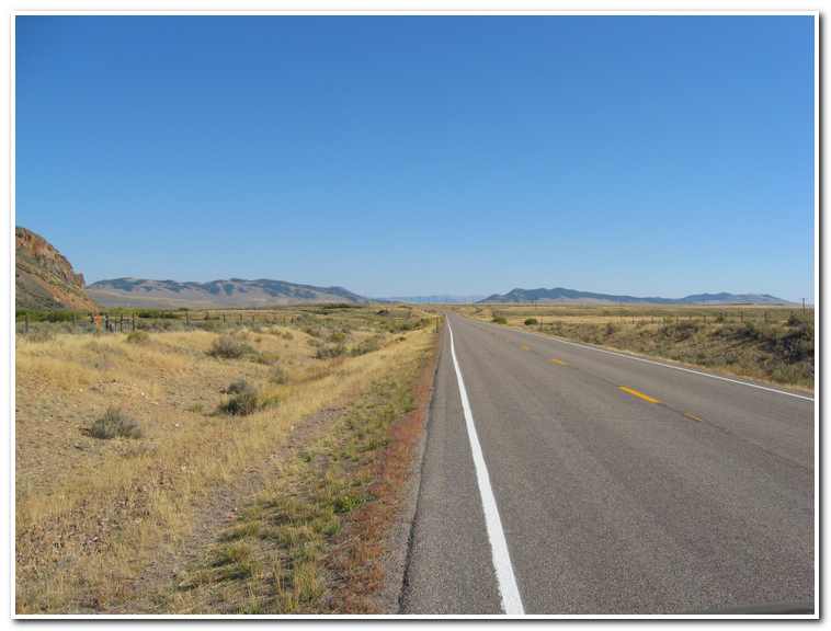
- Turn off to Bannack, Montana

-
- “Badger Hollow” site of badger encounter

-
- Mr. Badger

-
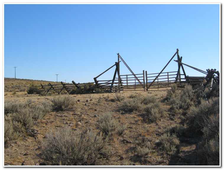
- Sheep corral
-
- Cattle at the Cross Ranch near Grant, Montana

-
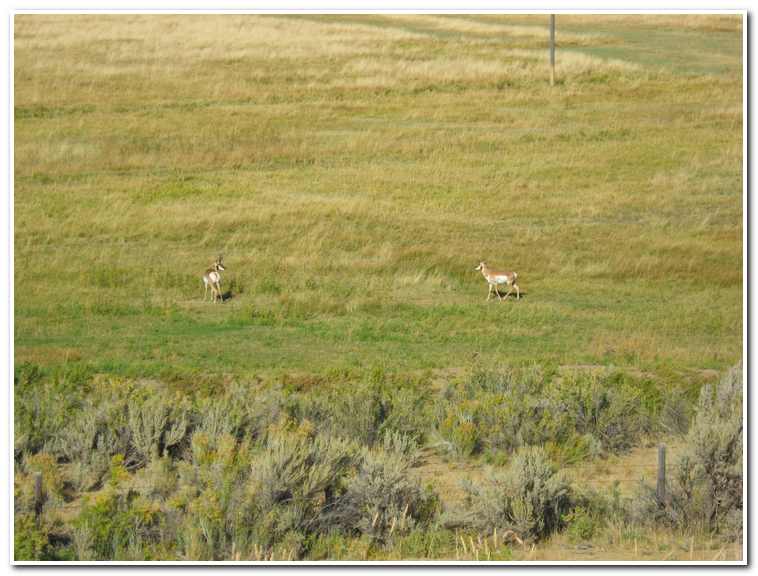
- Pronghorn antelope near Grant, Montana
-
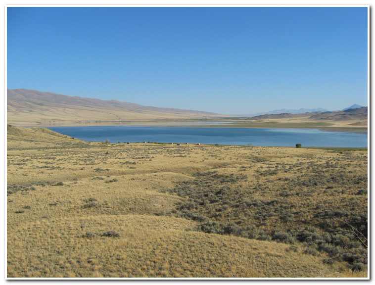
- Clark Canyon Reservoir
-
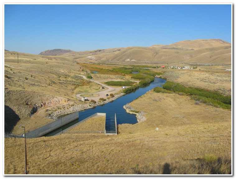
- Clark Canyon Dam, the head waters of the Beaverhead River